 RANTHAMBORE
Ranthambore map: safari zones in 3D
A first-of-its-kind free 3D map of Ranthambore. See where each safari zone lies, the lakes, the fort rebuilt in 3D, and how far your hotel is from our free pickup points. Zone areas are approximate.
Ranthambore Tiger books safari permits in your name — we are not the Rajasthan Forest Department and not the official park booking website.
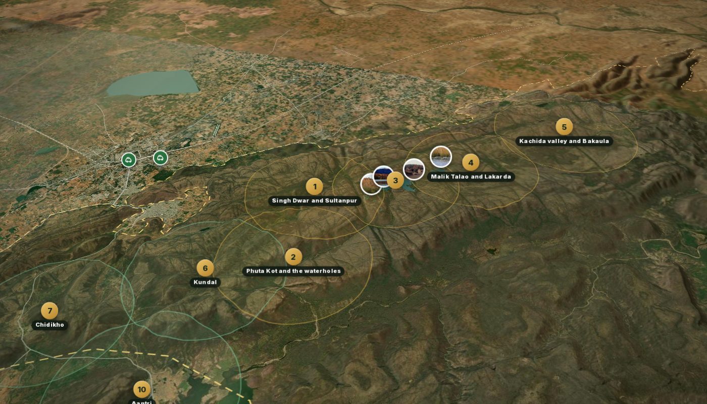
On a phone, move and zoom the map with two fingers (Ctrl + scroll on a computer). The dashed gold line is the national park boundary. Zone circles show roughly where each zone's route runs, around the places it is known for: they are not the Forest Department's official boundaries.
© 2026 Ranthambore Tiger. This 3D map, its fort and temple reconstruction and its renders are our own work: please don’t copy or reuse them. Third-party material is listed on Photo credits.
Prefer to read or listen? The Ranthambore story, in nine chapters · हिंदी में
The ten zones
Zones 8 (Balas) and 9 (Kuwalji) are bookable like any other zone but lie outside the main block of the park (zone 9 is about 45 minutes' drive), so they are not drawn on the map: open them from the zone list, or the keys 8 and 9. Zones 1–5 do not run on Wednesdays and zones 6–10 do not run on Tuesdays. More on each zone: Ranthambore safari zones.
Zone by zone
Where each route runs and what it is known for. Zone areas are approximate circles, not official boundaries; zones 8 and 9 have no verified position and open from the zone list.
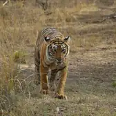 1Zone 1 · Singh Dwar and Sultanpurcore zone · closed Wednesdays · area approximate
Zone 1 is the western of the five core zones and the only one with its own gate, Singh Dwar. From the gate the track climbs into Sultanpur and on past Amreshwar Dang to Tuti ka Nalla, a seasonal stream bed that gives the zone its water in the cooler months.
Entered through the Singh Dwar gate, zone 1 runs through Sultanpur, Amreshwar Dang and Tuti ka Nalla: hillier and drier than the lake zones, with tigers crossing to and from zone 6 next door..
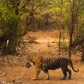 2Zone 2 · Phuta Kot and the waterholescore zone · closed Wednesdays · area approximate
Zone 2 lies between the Singh Dwar side of the park and the lakes of zone 3. The route works its way through Phuta Kot and the Nal Ghati valley to Lahpur, and the Jogi Mahal area is close by.
Zone 2 is the waterhole zone: Phuta Kot, Nal Ghati and Lahpur on one route, close to Jogi Mahal, long rated well by guides for tigers and with leopards reported too..
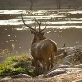 3Zone 3 · Padam Talao and Rajbaghcore zone · closed Wednesdays · area approximate
Zone 3 holds the lake country directly below Ranthambore Fort. The route runs along Padam Talao, past Jogi Mahal and the great banyan, to Rajbagh Talao and its lakeside ruins.
Zone 3 is the Ranthambore of the photographs: Padam Talao, the park’s largest lake, with the old Jogi Mahal lodge on its edge, Rajbagh Talao and its ruins, and the fort above.
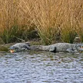 4Zone 4 · Malik Talao and Lakardacore zone · closed Wednesdays · area approximate
Zone 4 lies east of the Padam Talao lakes, sharing its entry with zone 5. The track takes in Malik Talao, then Lakarda and the Adidaant and Tamakhan stretches.
Zone 4 has Malik Talao, the smallest of the three lakes and a favourite of crocodiles and birds, with Lakarda, Adidaant and Tamakhan on the route.
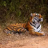 5Zone 5 · Kachida valley and Bakaulacore zone · closed Wednesdays · area approximate
Zone 5 is the south-eastern core zone, entered with zone 4. The route runs through Anantpura into the Kachida valley and on to Bakaula.
Zone 5 shares its entry with zone 4 and climbs into Anantpura, the Kachida valley and Bakaula: rocky, steep country with cliffs and thick patches of forest, a change from the lakes..
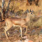 6Zone 6 · Kundalouter zone · closed Tuesdays · area approximate
Zone 6 lies just outside the core on the western side, bordering zone 1. The track runs through Kala Pani, Soleshwar and Khabli across grassland that opens up views the core zones cannot give.
Zone 6, Kundal, is open grassland with hills behind it, so you can see a long way: Kala Pani, Soleshwar and Khabli on the route, red-headed vultures and chinkara, and tigers crossing from zone 1..
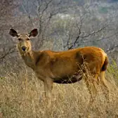 7Zone 7 · Chidikhoouter zone · closed Tuesdays · area approximate
Zone 7 lies on the outer side of the park next to zone 8. The route takes in Chidikho, Jamoda and Kushalipura.
Zone 7, Chidikho, is a small zone with fewer sighting points than most, around Chidikho, Jamoda and Kushalipura.
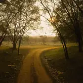 8Zone 8 · Balasouter zone · closed Tuesdays · position not verified, not drawn
Zone 8 lies on the outer rim beside zone 7. Balas, Kherai and Neemli Dang are the named points on the route.
Zone 8, Balas, is hilly country next to zone 7 with views over the Aravalli ridges: Balas, Kherai and Neemli Dang on the route, thinner wildlife than the core and a calm, handsome drive..
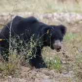 9Zone 9 · Kuwaljiouter zone · closed Tuesdays · position not verified, not drawn
Zone 9 sits on the Chakal river on the far side of the reserve, roughly 45 minutes by road from the main gates. The drive out and back is part of the safari time, so the time inside the zone is shorter than on other routes.
Zone 9, Kuwalji, is the furthest zone, on the banks of the Chakal river about 45 minutes’ drive from the main park: riverside forest and grassland, sloth bear, and caracal reported.
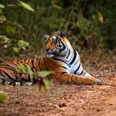 10Zone 10 · Aantriouter zone · closed Tuesdays · area approximate
Zone 10 is on the outer edge of the reserve, reached from the Sawai Madhopur side. The route takes in Aantri, Halonda and Bodal.
Zone 10, Aantri, opened in January 2014 and is the newest zone: hilly and remote, around Aantri, Halonda and Bodal, good for birds, with few other vehicles.
Landmarks on the map
Positions from OpenStreetMap where a named place exists, otherwise the route centre our drivers use.
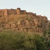 Ranthambore Fortfort · zone 3
The 10th-century hill fort on the rock above the lakes, part of the UNESCO Hill Forts of Rajasthan; visiting it needs no safari permit.
Held by the Chauhans under Hammir Dev, besieged by Alauddin Khilji in 1301, later a Mughal and then a Jaipur royal possession; the park grew out of the Jaipur rulers’ hunting reserve around it.
Tigers are sometimes seen from the ramparts on the lake side; langur, peafowl and raptors live on the rock.
 Trinetra Ganesh Templetemple · zone 3
The three-eyed Ganesh temple inside the fort, where pilgrims post wedding invitations addressed to the god.
Tradition links the temple to Hammir Dev’s 13th-century siege; it remains one of Rajasthan’s busiest Ganesh shrines.
The walk up passes langur troops; the lake view from the top is the classic tiger-watching vantage.
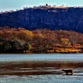 Padam Talaolake · zone 3
The largest lake in the park, directly below the fort, named for the lotus (padma) that covers it after the monsoon.
The lake, Jogi Mahal and the banyan beside it were the setting of the Jaipur maharajas’ shoots; today it is the heart of zone 3.
Sambar wade out to feed on the weed; mugger crocodiles bask on the banks; storks, spoonbills and ibis feed in the shallows. Machli and her line hunted here.
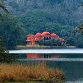 Jogi Mahallodge · zone 3
The old red-sandstone hunting lodge on the edge of Padam Talao, with one of India’s largest banyan trees beside it.
Built as a royal lodge; later a forest rest house; no longer open to guests.
The banyan and the lake edge are a regular stop on the zone 3 route: crocodiles, waterbirds, and tigers on the shore.
 Rajbagh Talaolake · zone 3
A reedy lake ringed by palace ruins, east of Padam Talao on the zone 3 route.
The ruins are the remains of a royal garden-palace (raj bagh); the lake has long been a favourite of photographers.
Sambar, chital and crocodiles; the ruins are a known tiger resting place in the heat.
Malik Talaolake · zone 4
The smallest of the three lakes, shallow and busy with birds and crocodiles, on the zone 4 route.
Part of the historic lake country that Machli held; the Lakarda side beyond it is drier and more open.
Kingfishers, storks and ducks; mugger crocodiles on the banks; sambar at the edge.
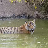 Lakardawaterhole · zone 4
A well-known waterhole and sighting point on the zone 4 route beyond Malik Talao.
Sloth bear are reported on this side from time to time; sambar and chital at the water.
Representative photo: a Ranthambore waterhole, not Lakarda itself.
Kachida valleyvalley · zone 5
The steep, cliff-walled valley at the heart of zone 5, with thick forest in its folds.
Sloth bear and leopard use the cliffs; tigers use the valley as a corridor between the lakes and the outer park.
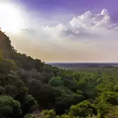 Bakaulaforest · zone 5
The dense forest stretch at the far end of the zone 5 route; dark even at midday.
Leopard and sloth bear country; tigers in the valley pools.
Representative photo: forested hills of Ranthambore, not Bakaula itself.
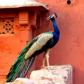 Singh Dwar (zone 1 gate)gate · zone 1
The “lion gate”, zone 1’s own entrance on the western side of the park.
The track climbs from here into Sultanpur and on to Tuti ka Nalla.
Representative photo: a gate of the park, not necessarily Singh Dwar.
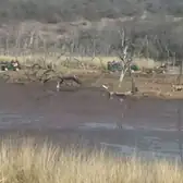 Sultanpurforest · zone 1
The forest chowki and area that the zone 1 route runs through; Noor (T-39) is most often reported on this side.
Sambar and chital on the slopes; tigers cross between zones 1 and 6 here.
Representative photo: Ranthambore forest, not Sultanpur itself.
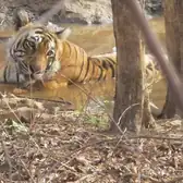 Phuta Kotwaterhole · zone 2
The waterhole area that gives zone 2 its name (OSM records it as Phuta Khor).
Tigers and leopards at the water in the hot months; sambar, chital and wild boar.
Representative photo: a Ranthambore waterhole, not Phuta Kot itself.
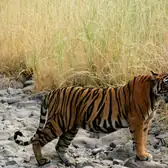 Nal Ghativalley · zone 2
The valley on the zone 2 route between Phuta Kot and Lahpur.
Crested serpent eagle and owls in the valley forest; waterholes along the track.
Representative photo from our own safaris: a rocky stream bed in Ranthambore, not Nal Ghati itself.
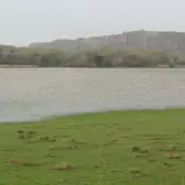 Kala Paniwaterhole · zone 6
The “black water” pools on the zone 6 route, at the edge of the Kundal grassland.
Sambar and nilgai come to the pools; tigers crossing from zone 1 are often met here.
Representative photo: lakeside grass and cliffs in Ranthambore, not Kala Pani itself.
Khabligrassland · zone 6
Open grassland on the zone 6 route with the hills behind: the widest views in the park.
Chinkara, nilgai, red-headed vulture and grassland birds.
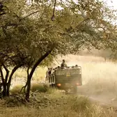 Kushalipuraforest · zone 7
The hamlet and forest area on the zone 7 route; very few vehicles.
Dry-forest birds, sambar, chital and nilgai.
Representative photo from our own safaris: a canter on a forest track, not Kushalipura itself.
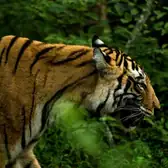 Bodalforest · zone 10
A village and forest area on the zone 10 route in the hill country south of the core.
Raptors, woodpeckers and parakeets; sambar, nilgai and chinkara.
Representative photo from our own safaris: Ranthambore forest, not Bodal itself.
Halondaforest · zone 10
The southern end of the zone 10 route near Halonda village.
Hill forest birding; tigers and leopards present, seen less regularly.
Representative photo: forested hills of Ranthambore, not Halonda itself.
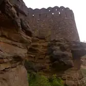 Khandar Fortfort
The hill fort on the eastern edge of the reserve, towards Khandar town.
A medieval fort contested between the Chauhans, the Sultanate and the Mughals; outside the safari zones.
Outside the safari routes; the Chakal and Banas country beyond is zone 9 territory.
Khandar Fort battlements.
Wildlife of Ranthambore
Conservation status is the IUCN Red List global category. Nothing here is a sighting claim.
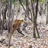 Bengal tigerPanthera tigris tigris · IUCN Endangered
Dry deciduous forest, lake edges, valley corridors and the open outer park; every zone holds tigers.
Solitary and territorial; hunts sambar and chital, mostly at dawn, dusk and in the cooler hours; comes to water in the heat.
Most associated with zone 3, zone 4, zone 2, zone 6, zone 1, zone 5 in our guides’ experience; never a live location.
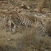 Indian leopardPanthera pardus fusca · IUCN Vulnerable
Sloth bearMelursus ursinus · IUCN Vulnerable
Rocky hillsides with termite mounds and fruiting trees; the Chakal riverside forest of zone 9.
Feeds on termites, ants and fruit; mostly active at dusk and night, but Ranthambore bears are often out by day in winter.
Most associated with zone 9, zone 5, zone 4 in our guides’ experience; never a live location.
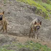 Striped hyenaHyaena hyaena · IUCN Near Threatened
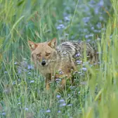 Golden jackalCanis aureus · IUCN Least Concern
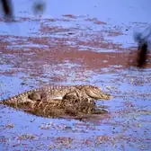 Mugger (marsh crocodile)Crocodylus palustris · IUCN Vulnerable
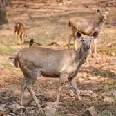 Sambar deerRusa unicolor · IUCN Vulnerable
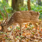 Chital (spotted deer)Axis axis · IUCN Least Concern
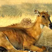 Nilgai (blue bull)Boselaphus tragocamelus · IUCN Least Concern
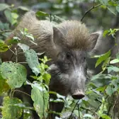 Wild boarSus scrofa · IUCN Least Concern
Chinkara (Indian gazelle)Gazella bennettii · IUCN Least Concern
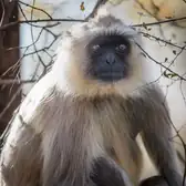 Hanuman langurSemnopithecus entellus · IUCN Least Concern
 Red-headed vultureSarcogyps calvus · IUCN Critically Endangered
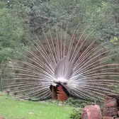 Indian peafowlPavo cristatus · IUCN Least Concern
Throughout the park and the fort.
Males display from the monsoon; roost in trees; a loud alarm call at a tiger.
Seen throughout the park; never a live location.
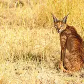 CaracalCaracal caracal · IUCN Least Concern (globally; very rare in India)
Dry scrub and rocky ground on the outer edges; reported from zone 9.
Secretive, mostly nocturnal; leaps to take birds from the air.
Most associated with zone 9 in our guides’ experience; never a live location.
Zone areas are circles around the places each route is known for, drawn from OpenStreetMap localities and our drivers’ knowledge: they are approximate and are not the Forest Department’s official boundaries. Final zone allotment follows the Forest Department’s booking rules.
Pickup points
Search for your hotel above the map, or tap where it is, to see its pickup charge. Ready? Book a safari online: you choose the zone, slot and pickup in the next step.